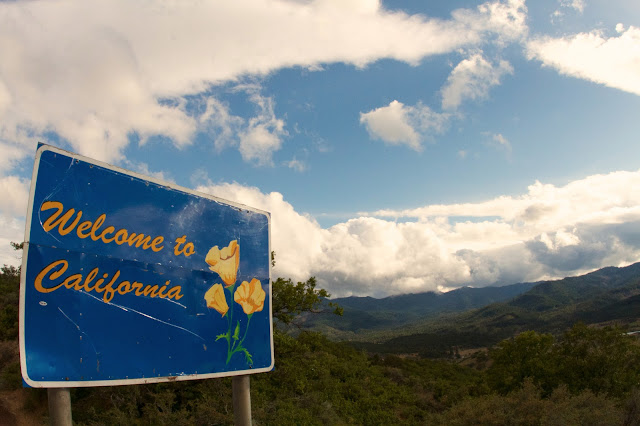
Oh California...
For the better part of the past six months, Adrian and I have been plotting and scheming on the trip of a lifetime.
.JPG)
We were going to travel around in a 30 year old bread truck and kayak everything we could get on from BC all the way down to the Southern California.
We planned on eating, sleeping and living the kayak dream in 2013.
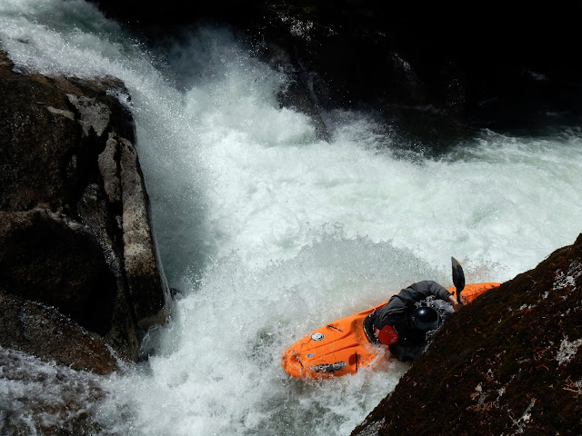
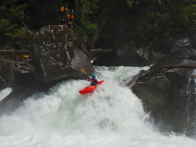
Then Adrian broke his foot boofing the piss out of POW on Tumwater Canyon.
With all plans in disarray and Adrian heading off to surgery I was lost. I had no backup plan.
Scott Waidelich started to move in for the kill; with discrete references to Upper Cherry Creek and how awesome it would be to get in there this year with California's abysmal snow pack and early season, he started to convince me the spring season could be salvaged.

I would wake up to text's about snowpack and current weather predictions. After a couple Robe trips, beers and a little bit of harassment I was sold on the plan. Scott and I were going to go into Cali on a surgical strike mission. In and out. Bang out Upper Cherry Creek, leave her wanting more and then get whatever else was in on the way back to the Great Green North.
Scott watched water levels on Cherry Creek religiously and we kept postponing the drive until we thought we had Mother Nature figured out. With the Little White Race over, we decided to head down and just wait for her to come in.
The diurnal flow pattern was looking good. It was bouncing between 600 and 700 cfs and we wanted 600 and dropping to start the 11 mile hike in.

Things started to get hairy on the drive down...
We drove through most of the night and got to Coloma sometime after 2am. As soon as we woke up and checked water levels on Tuesday morning, we knew that we were in for a little more interesting trip than we had planned for:
The diurnal flow pattern for Upper Cherry Creek was steadily rising and all of a sudden our windfall of heat that was coming our way started to look like a bad thing. Why were levels going up? How high would it go? What about that crew that was already in there? These were the things that were rolling around the kitchen counter between cups of coffee.

As it dawned on us that UC was not in our immediate future we started searching out alternates for the wait.
Coming from the Pacific Northwest where there is always something running, we were not prepared for what American Whitewater had to tell us. There wasn't much creek boating to be done. Cal Salmon (4-5 hours north of us) was in. There were goods running in the King's drainage to the South of us (another 4-5 hours south of us). Hopes started to smolder.
Then we came across the online gauge at Kyberz Pass. This is a good way to get an idea if South Silver is in.
I’d
seen pictures of South Silver online and on various blogs, always
telling myself “Man, I’d love to hit that”. It looked like my
opportunity was very near. We were a bit confused as everything we
found online about the run said that it shouldn’t be in, that the
locals had squeezed the last good drops out of it a couple weeks
back. We were in the car and driving through Placerville within the
hour.
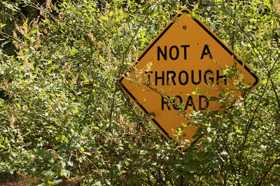
Choose your internet directions wisely…
Choose your internet directions wisely…
After losing easily an hour driving down dirt roads and through dense trees, we finally threw our hands in the air and said to the birds with this. Driving back to get internet service on your phone can be a humbling experience. After a quick online search we were back on the road with new directions to the same run.

We finally found the takeout to South Silver well into the afternoon. Around 4pm we came upon a fellow paddler. Playing the nice tourist card, I begged for beta first, shuttle second. Or new friend was very happy to give us some beta, but not so forthcoming on the shuttle commitment.
He told us “Yeah, it’s in right now, from the rain. It’s definitely on the low side though… Prolly will be out tomorrow.”
Hey thanks buddy...
He also told us that the locals with only one car will run to the top, drop their gear and then hike up from the takeout. “It’s only a mile or so.”

We drove to the put in; what we thought was the put in. We hiked our gear down to the river and got stoked that we were gonna get super sick on a new creek.

Driving back down to the take out was all stoke and predictions of glory boofs.
Then we hiked in:

If this was low, I was a little worried. This didn’t look like any of the ohotos or videos I had seen. This looked nothing like fun and everything like some of the most intensly stacked vertical whitewater I had ever seen. There were no eddies. None.

And our boats were somewhere at the top. So, we hiked and hiked. Then we stopped, stared. Hiked some more. After about an hour of scrambling up the bank we still hadn’t come across our boats.
I was beginning to get a little more than a little worried. We had no headlamps, no food, no locals to follow and I swore a saw rattlesnakes in every shadow.
By the time we got to the top of Autobahn, the put in rapid, we knew we had made some poor decisions. Our boats were nowhere to be seen and the river looked nothing like the river that we had stashed our boats next to.
Another 30 minutes of hiking and we decided to head for higher ground and look for a forest service road. When we found one, we followed it upstream and quickly found the road we had driven down to get to the “put in”.
We had missed a turn and driven another ¾ of a mile upstream. When we finally reached our boats it was well past 7pm and light was starting to fade. We jumped in our crafts and took off. Within 5 minutes I was broached between two rocks with my paddle keeping my face and body our of a sieve pile: this was not starting well.
We boat scouted and portaged our way down to South Silver proper. Reaching the recirculating eddy above Autobahn we pulled in for a scout and a safety talk.
We decided that this was a bad call as we would essentially have to run the entire run solo, with one person on the side with a bag for safety. There would be no stopping once you entered the teacups, as there were no eddys. Skyscraper and Off-ramp were one rapid. We hung our heads in shame, shouldered our boats and hiked out. This is only the second time I’ve ever hiked off of a run and the taste was as sour as it was the first time.
The following morning saw us off to a late start. We went down to the local boating store and asked around about levels. We were told that while South Silver had been run this high, it definitely was out of the ordinary. So, with no other options in our foreseeable future, we rented play boats!

I grew up on the South Fork of the American river.
Seeing this stretch of whitewater is like meeting an old friend for a cold drink. Its therapy. Scott and I had a full day carping rolls and trying to "play" at First Threat. Neither of us are known for our playboat skills, but we had a blast.
That evening we made contact with a mutual friend and made plans to go run the Golden gate section of the SF American river. I had heard of it as a kid but had never run it.
Our virtual beta search showed us that the run was a 9.0 on a scale of 10. We confirmed and made plans to meet at 10am at the takeout.
“A novel substitute for jumping off the Golden Gate Bridge” was the description of the run given by Charlie Martin. I would say this is a pretty decent description of the chaos called a run that we found.
From the pictures online we expected a run very similar to our very own Robe Canyon. Except you could boat it in drytops and there were drops like the one above.
We met up with our new found friend at the takeout and rallied. The run was supposed to be 9 miles long and none of the three of us had ever been in that drainage. A friend of ours had been in there a couple weeks earlier and told us that he had shown himself down in about 6 hours.
It was a great day on the water and even with low flows and a few portages.
Golden Gate was an experience to be remembered; super fun and continuous run. Everything goes, apparently, but we walked a couple of the big ones: Drainpipe, Straightshot,Taco Bell and Brainfade had a massive tree in it. I would love to get back on this river when it's in it's prime.
Scott grabbed a shot of me in the midst of things:
The next drop of note was F-111; a big ledge with a horrible looking hole at the bottom. I shot video here but Scott was able to grab some shots:
After talking with some boaters at Marco's Cafe and my father, we decided our best bet was just to head down and get some time in on Cherry Creek (proper) and just wait for Upper Cherry to come in.
It's gotta stop rising some time right...?
With Coloma in the rear view mirror and our GPS pointing us toward Groveland, we set off for Yosemite and the Toualmine river.
To be continued...
.JPG)




.jpg)

